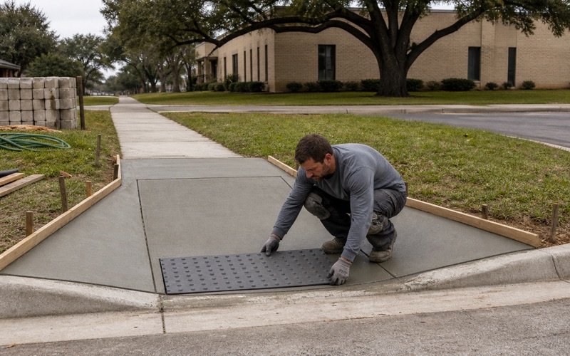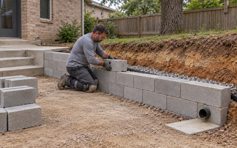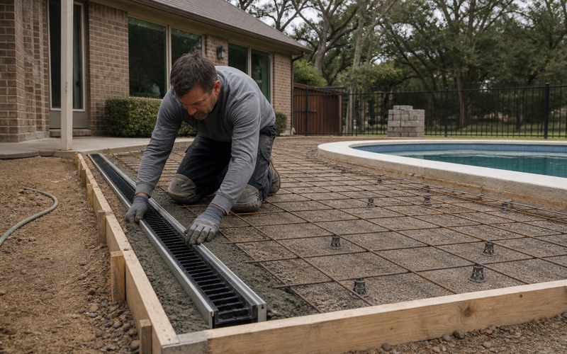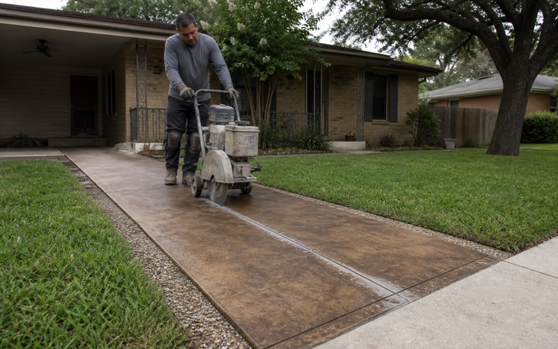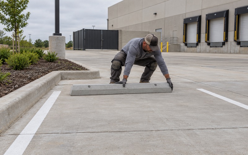
Bryan Elite Concrete works as a concrete contractor in Hearne, pouring driveways, slabs, pads and repair work with more than 20 years behind the crew. The ground here reads differently from the rest of this region, and the difference is the reason a mix and a reinforcement decision made a few towns over is the wrong one on this side of the county line.
Most concrete conversations in central Texas start with movement. Here the soil survey points somewhere else. The interpretation the federal soil survey publishes for concrete flatwork rates about a third of the city Very limited, and on the most locally characteristic soils the controlling reason is acidity rather than shrink and swell.
That changes what we specify rather than how we build. Cover over steel, the mix itself and how the base is prepared all get set against an acidic, sandy, free-draining profile with a reactive layer buried somewhere below it. What is on the surface tells you almost nothing about which of those you are dealing with.
What the Soil Survey Flags Against Concrete Here
Acidity Is the Controlling Limitation
The federal soil survey publishes a Texas interpretation called Concrete Driveways and Sidewalks. Weighted across the city limits it rates 54.5 percent of the area Somewhat limited, 33.5 percent Very limited and 11.8 percent Not limited, and its Reinforced Concrete Slab interpretation returns the same shares.
The useful part is why. On the Hearne series the controlling subrule is Too acid at full weight, with shrink and swell contributing only a small fraction; on Silawa, covering about 17.5 percent of the city, acidity is the sole limitation. The Hearne series itself records pH 5.5 at the surface falling to about 4.5 below roughly five to ten inches.
Corrosion Risk to Uncoated Steel
That acidity turns into a steel problem rather than only a concrete one. The survey rates risk of corrosion to uncoated steel High over 50.8 percent of the city and Moderate over almost all the rest, and rates risk of corrosion to concrete Moderate over 67.0 percent, High over 25.7 percent and Low over 7.1 percent.
The high concrete ratings fall on the Hearne series, Tanglewood and Wilson, and Wilson gets there by a different route: about 2 percent gypsum and 6 percent calcium carbonate in its subsoil make it a sulfate source rather than an acid one. Only Ships clay is calcareous, and it covers barely a tenth of a percent of the city.
What That Changes About a Pour
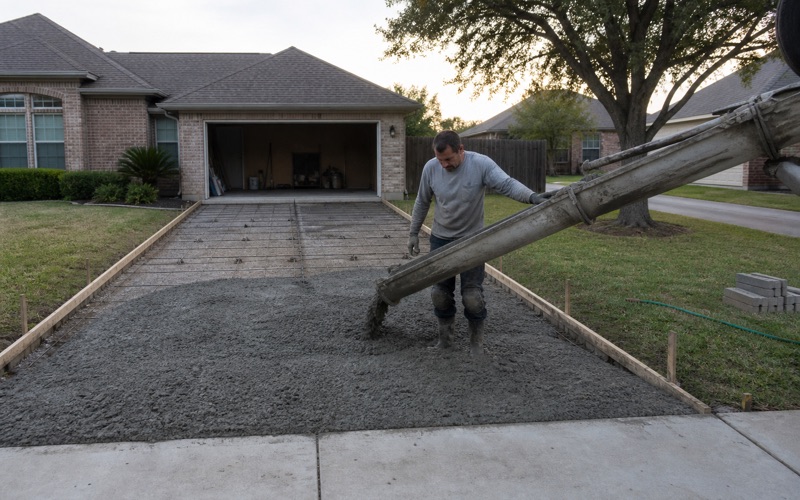
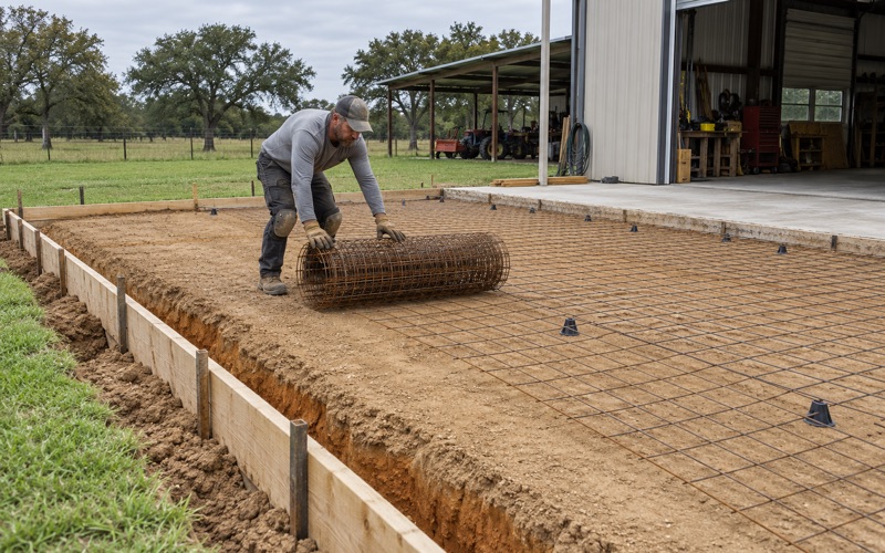
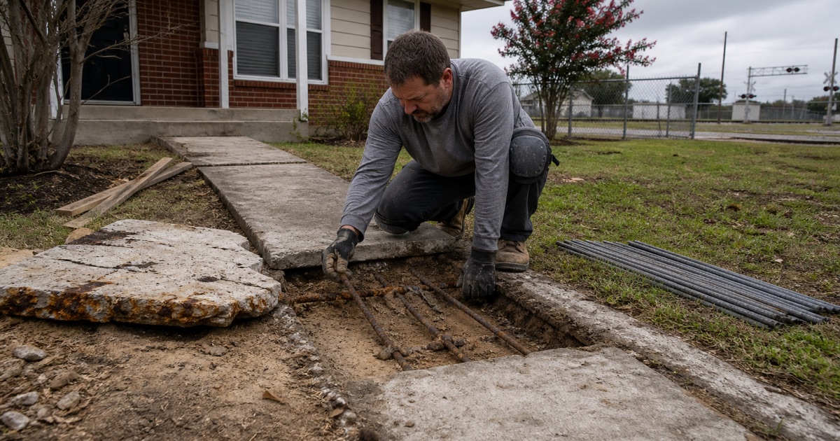
We treat cover over steel as a specification rather than a habit, keep reinforcement properly positioned on chairs and bolsters rather than lifted during placement, and consider epoxy coated rebar where the exposure justifies it. Steel sitting in acidic, wet ground with too little concrete over it is where a slab starts failing from the inside.
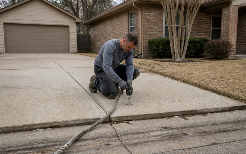
The base is the other half. On these soils we place and compact an imported base rather than relying on the native material to serve as one, and we keep water moving off and away from the slab. Drainage is not a comfort item here; it is the thing that decides how aggressive the surrounding ground gets to be.
Looking for concrete contractor closer to Caldwell? See Concrete Contractor in Caldwell.
Sand on Top, Clay at a Depth That Moves Street to Street
An Overwhelmingly Sandy Surface
Weighted by area inside the city limits, 54.6 percent of the mapped soil carries a loamy fine sand surface and a further 29.6 percent a fine sandy loam, so 84.2 percent of the ground is sandy at the top. Tabor fine sandy loam leads at 18.7 percent, followed by Silawa loamy fine sand at 17.5 percent and Wilson loam at 13.0 percent.
There is essentially no high-movement bottomland clay inside the city. Ships clay covers about 3.3 acres, or 0.13 percent of the mapped soil area. Anyone quoting this city as heavy ground is describing somewhere else.
The Reactive Layer Is Buried, and Not Consistently
The clay that does move is underneath, and how far underneath changes from block to block. Measured down from the surface, the first reactive horizon sits at about 13 inches under Tabor, 10 inches under the Hearne series, 14 inches under Chazos, 7 inches under Rosanky, 26 inches under Robco, 29 under Silstid, 37 under Dutek, 53 under Eufaula and 54 under Padina.
Tabor is the clearest case: a fine sandy loam surface at 14 percent clay and a plasticity index of 7 for the first 13 inches, sitting directly on a slickensided horizon at 48 percent clay, a plasticity index of 39 and a linear extensibility of 10.3 percent. Nothing visible at the surface announces that.
Deep Sands That Behave Nothing Like Clay
At the other extreme, Eufaula carries 7 percent clay and a plasticity index of 2 continuously to 53 inches with a saturated hydraulic conductivity of 92 micrometers per second, and Padina, Dutek and Silstid are similar. These are non-cohesive subgrades that drain freely and will not compact by kneading the way a clay-bearing base does.
Hydrologic groups here run the entire range, from group A on Eufaula, Padina and Robco through to group D on the Hearne series, Ships and Wilson. Two jobs a few streets apart can therefore need opposite base treatments, which is why we open the ground before pricing rather than after.
Permits, Highway Frontage and Bar Ditches
There Is No City Driveway or Flatwork Permit
This city’s code contains no driveway permit, no flatwork permit, no slab permit and no patio permit, and no pre-pour requirement is written anywhere in it. The one concrete-adjacent approval is a curb: section 3.08.001 provides that no one may build a curb on city property without first obtaining permission and building to the city’s plan and specifications.
Robertson County does not fill that gap either, since it has no county engineer and publishes no culvert permitting of its own. The absence of a permit is not the absence of a standard, though, and we still build to a written specification you can hold us to, because nothing else here will do that job for you.
TxDOT Form 1058 on the Highway Frontage
Three federal and state highways converge inside the city, so a large share of commercial frontage abuts state right of way rather than a city street. Access to US 79, US 190 or SH 6 requires TxDOT Form 1058, the permit to construct access driveway facilities on highway right of way, filed with the Bryan District by the owner or an authorized representative.
The sequence is strict. No construction may begin on the right of way until a fully executed permit has been received and the applicant has given 24 hours notice, and a state inspector decides whether the finished work is acceptable. We handle that filing and build the notice period into the schedule rather than treating it as paperwork to catch up on.
Culvert Ends, Riprap and Slopes on State Right of Way
Where a driveway crosses a roadside ditch on state right of way, the access manual is explicit that when a drainage structure is required its size and design features are approved by the state, with the permittee furnishing the materials. Safety end treatments are required on every driveway carrying a drainage structure there.
The detailing is prescribed too: no headwalls or similar vertical ends, ends sloped at six horizontal to one vertical or flatter with concrete riprap protecting the pipe end, and driveway embankment slopes at six to one maximum with eight to one preferred. Larger pipes require grates at the same slopes. We build to that detail rather than to the local habit.
Floodplain, Rail and an Older Housing Stock
Nearly One Acre in Five Carries a Base Flood Elevation
About 18.0 percent of the land inside the city limits is FEMA Zone AE, a special flood hazard area with a published base flood elevation, with a further 2.2 percent in the 0.2 percent annual chance hazard and 79.8 percent in Zone X. Forty-one base flood elevation lines fall inside the city, running from 268 to 320 feet.
That floodplain comes off the creeks rather than a major river: Lost Creek, Sandy Creek and their mapped tributaries carry it through town. The effective flood insurance rate map, or FIRM, is a set of countywide panels effective July 18, 2011 for NFIP community 480542, and no property inside the city has been mapped out by amendment or revision on it, so the mapped zone is the zone.
Sixty-Two Grade Crossings and the Concrete Around Them
This is a rail junction town and a lot of the flatwork follows the track. The federal grade crossing inventory carries 69 crossing records inside the city, all of them on one railroad, and 62 of those are at grade, split between public and private. Seven subdivisions of that railroad are named across the records.
Traffic is heavy for a city this size, with the busiest public at-grade crossings recorded at 26,826, 22,530 and 21,778 vehicles per day and a median of eight through trains daily. That population of approach slabs, spur aprons and heavy pavement sections is real work, and it is built to heavier sections than a residential drive.
Housing Built Long Before Current Practice
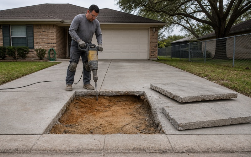
About 78.6 percent of the housing stock here predates 1980 and only 1.3 percent has been built since 2010, which means most flatwork on a residential job is replacement rather than first construction. Old slabs come with old base preparation, buried utilities placed to older habits, and grades that have shifted over decades.
We price demolition, base correction and drainage as their own lines on that kind of work, because the removal usually reveals more than the surface suggested. Aggregate for bedding and base is produced close by, with several registered operations working sand and gravel nearby, so the material half of that correction is a short haul rather than a freight cost.
- 20+ Years Experience
- Free On-Site Quotes
- Written Scope and Specs