Bryan Elite Concrete works as a concrete driveway contractor in College Station, building and replacing driveways, approaches and residential flatwork with more than 20 years behind the crew. Everything on this page comes back to one rule the city wrote for itself, which quietly decides how a slab here gets built.
That rule is the plasticity index band for structural fill, and the reason it matters is that neither layer of a typical lot inside this city satisfies it. The material coming out of an excavation is either too plastic or not plastic enough, so structural fill becomes an imported material question rather than a matter of putting back what came out.
Contractors who do not know that price the job as though the spoil were reusable, then discover otherwise once the excavation is open. We would rather have that conversation at the quote, with the specification and the fill in writing, than halfway through a driveway replacement with the forms already set.
The Rule That Decides a Foundation Here
Minimum Foundation Standards, Not the Prescriptive Code
Residential slabs-on-ground with turned-down footings here are not built to the prescriptive residential code text. The city deletes IRC R403.1.3.3 entirely and repoints it at its own Section 1907.2, added to the building code, which requires compliance with the Building Division’s Minimum Foundation Standards drawing, Figure 1.
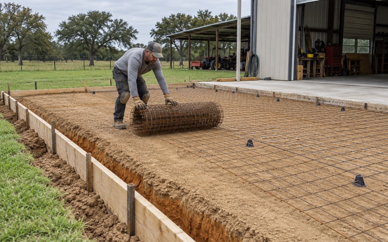
That sheet is the actual specification. It sets a four-inch minimum slab with number 3 bars at 16 inches on center over a six-mil poly vapor barrier, interior beams 24 inches deep and exterior beams 30 inches deep with defined steel, stirrups and beam spacing, and a minimum specified compressive strength of 3,000 psi at 28 days.
The Plasticity Index 5 to 18 Fill Band
General Note 1 on that drawing carries the sentence that matters most: the exterior beam has to extend at least six inches into undisturbed soil, or into fill compacted to 95 percent Standard Proctor by ASTM D 698 within plus or minus 2 percent of optimum moisture, and all fill material must have a plasticity index between 5 and 18.
Now compare that band with the ground. Across the eight dominant series inside the city limits, the sandy loam surface horizon carries a representative plasticity index of 4, below the floor, while the clay subsoil beneath it runs 27 to 41, well above the ceiling. Both layers fail the same specification, in opposite directions.
What That Means for Your Quote
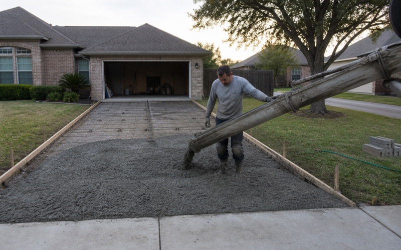
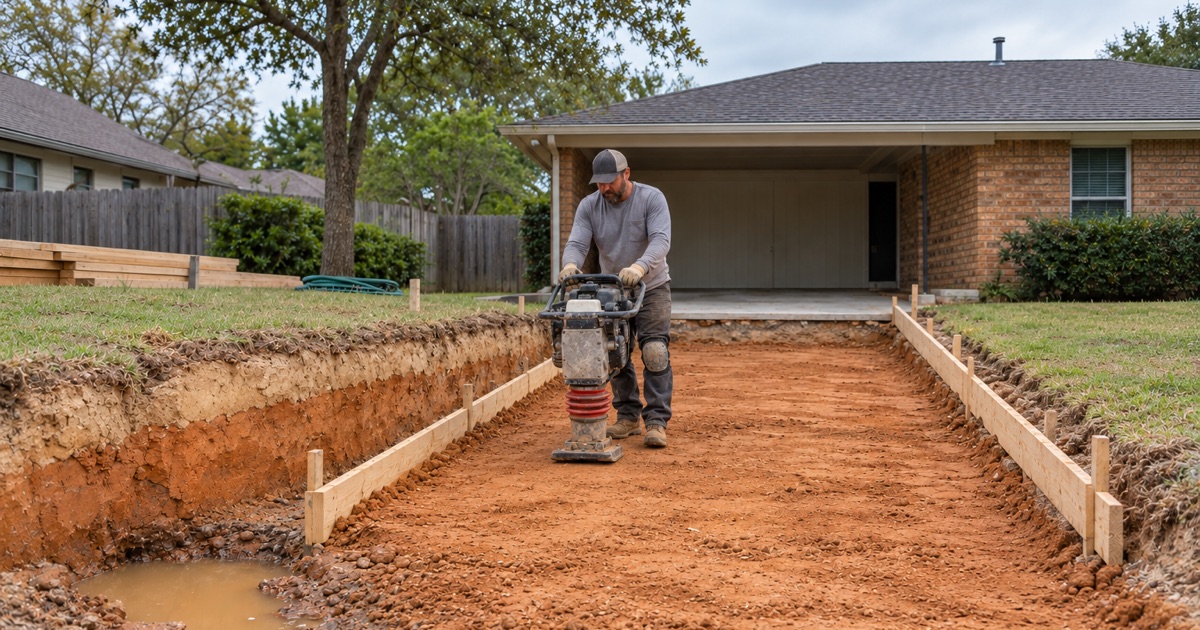
The practical consequence is that structural fill has to be brought in, tested and placed to a compaction standard, and the excavated material has to leave. We price that as its own line rather than folding it into a square-foot rate, because it is the difference between a quote that survives the inspection and one that changes.
It also means the fill is a documented item, not a judgment call. Compaction to 95 percent by ASTM D 698 within a two-point moisture window is a measurable thing, and we work to it and record it rather than compacting until it looks right and hoping the number was met.
Looking for concrete contractor closer to Hearne? See Hearne Concrete Contractor.
Ground That Drains at the Top and Stops Below
A Sandy Veneer Over a Clay Pan
The profile inside these city limits is a sandy loam veneer over a smectitic clay subsoil rather than heavy ground at the surface. Boonville is the most extensive series at about 21.5 percent of the mapped area, running roughly 12 inches of 10 percent clay at a plasticity index of 4, then changing abruptly to 45 percent clay at a plasticity index of 33.
Zack follows at about 14.0 percent with a 50 percent clay B horizon at a plasticity index of 38, and Singleton at about 8.3 percent carries the highest common subsoil plasticity index at 41. The clay starts shallow: about 7 inches down in Zack, 9 in Singleton, 5 in Zulch and 12 to 17 in Boonville.
Hydrologic Group D and a Perched Water Table
About 79.5 percent of the mapped soil area inside the city limits sits in hydrologic soil group D, with a further 4.7 percent in group C/D. Water moves through the sandy surface and then meets a pan with a saturated hydraulic conductivity of 0.21 micrometers per second, so it stops rather than continuing down.
Roughly 27.9 percent of the mapped area carries a seasonal high water table within about 13 inches of the surface, and in Boonville and the Derly-Rader complex the annual minimum sits around 9 inches, effectively perched on the clay. That is a drainage design problem on flatwork, not a curiosity, and it is why we set fall and outfall before we set forms.
Bedrock, Bottomland and What Each One Changes
About 21.5 percent of the mapped area has a root-restrictive layer within a meter of the surface: paralithic bedrock at around 28 inches under Singleton, 30 to 34 inches under Burlewash and 34 inches under Shiro. That matters for beams and piers rather than for a four-inch slab, but it changes what a deep excavation actually meets.
On the creek bottoms, about 11.25 percent of the mapped area is mapped frequently flooded, almost all of it Sandow loam. Sandow is a low-movement soil at 20 to 25 percent clay with a plasticity index of 13 to 18, so on that ground the problem is water rather than movement, and the design answers to drainage and floodplain rules instead.
Driveway Permits, Fees and Who Signs
A New House and a Replacement Are Not the Same
The city treats these two cases very differently. Under Section 34-36(b)(2) a written driveway permit for a new development is not issued and not required, because approval of the driveway location and design on the building or site plan is the permit.
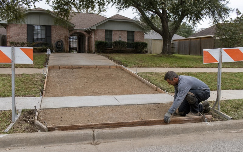
A replacement at an existing property is the opposite. Section 34-36(b)(3) requires the owner to apply in writing, designate the contractor who will do the work, and attach a sketch showing the driveway, the parking area or doorway being connected, and the location of the nearest existing driveways on the same and the opposite side of the roadway.
Registration, Fees and Inspection Timing
Anyone contracting to construct, alter, repair, move or demolish a building or structure must first register with the Building Official, giving full name, residence and place of business, and carry general liability insurance for the trade. Contractor registration runs $80.00 and a driveway permit $67.00 under the current fee resolution.
The numbers that bite are the corrective ones. A re-inspection on any inspection type costs $132.00, and inspections outside Monday to Friday, 8:00 a.m. to 5:00 p.m. run $99 per hour with a $198 minimum. The city may also require a form survey by a Texas licensed surveyor before concrete is placed, which is a scheduling item rather than a formality.
Geometry the Ordinance Fixes for You
Residential driveway shape is not a free choice here. The development ordinance allows one curb cut per single-family or duplex tract, with alternatives such as a circle drive only on Development Engineer approval, sets approach width at the property line between 12 and 25 feet, and requires curb return radii between 3 and 10 feet.
Commercial and multifamily approaches run wider, at 24 to 36 feet for two-way operation with larger radii, and throat depth has to store entering traffic on site. Every driveway also has to avoid altering the drainage of the street and the adjoining property and provide a crossing path in the right of way meeting minimum accessibility standards.
Rented Stock, Old Slabs and Practical Scheduling
Who Signs Matters as Much as What Is Built
This is a heavily rented city: about 64.6 percent of occupied units are renter occupied, and 27.7 percent of occupied detached houses are rented rather than owner occupied. That changes who authorizes work and how it gets scheduled far more often than it changes the concrete specification.
It also has a permitting edge. The floodplain development permit exemption written for improvements by a homeowner on their principal residence does not reach a rental house, because a rental is not the owner’s principal residence. On rented stock we check that before assuming an exemption applies.
The City Will Not Take Your Old Driveway Away
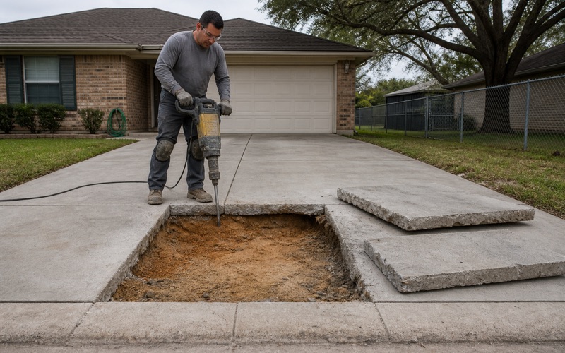
Section 40-402 is explicit: rock, construction demolition waste and building materials from building or remodeling operations are not removed by the city and must be taken away by the contractor, owner or occupant at their own expense. Waste also has to be contained on site, with wind-blown rubbish confined in a container or a temporary pen.
That is why our proposals name demolition and haul-off as their own line. A driveway replacement produces a substantial volume of broken slab, and a quote that leaves disposal vague is one where the cost reappears later. Where a roll-off is the sensible route, we price the container and the per-load and landfill charges honestly.
Turn Windows and Working Around Tenants
On rental and student housing property, when the work happens is frequently the whole constraint rather than what it costs. A driveway or parking area out of service in the middle of a lease is close to worthless to a manager or an owner.
We schedule that work into the turn between leases and commit to the dates, and we sequence demolition, fill placement, form setting and the pour so the property is out of use for the shortest realistic window. Where a form survey or a permit sits in the path, those go in the schedule at the start rather than being discovered inside it.
- 20+ Years Experience
- Free On-Site Quotes
- Written Scope and Specs